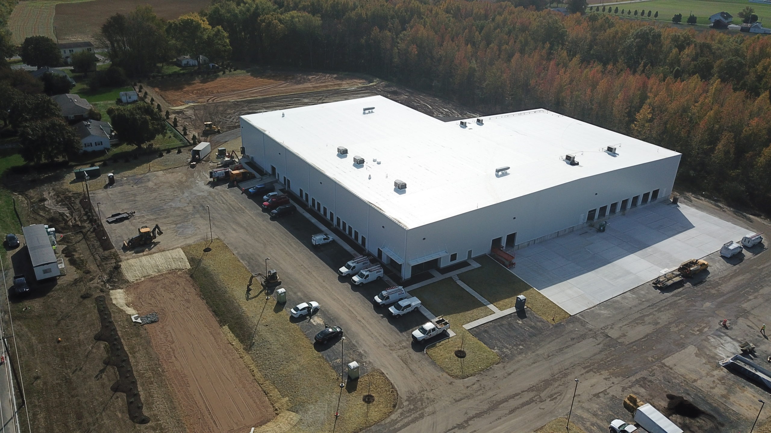
Zone Map Development Process
The zone map starts with the roof walk. We photograph the entire roof, identify every natural division including drainage sections, construction joints, level changes, and large equipment clusters, and assign zone names that are intuitive for the building's geometry. A zone name like 'NW Field' or 'RTU Cluster B' is more useful than a grid reference when communicating with a building's overnight maintenance staff who needs to find a specific area during a leak event. The zone name has to work at 2 AM in a rain event, not just in a conference room.
The zone diagram is drawn to scale against the building footprint. Every drainage point, drain, scupper, and overflow, is marked. Every large penetration, every curb-mounted equipment unit, every rooftop access hatch, and every significant parapet projection is located on the diagram. The resulting map gives any trained observer a complete spatial understanding of the roof without needing to visit it. For multi-level roofs, common on the older commercial buildings in Clayton, the Downtown hotel corridor, and the CWE healthcare campuses, each level is mapped separately with its own zone diagram and level notation.
Integration with Inspection and Repair Records
Every finding from every inspection we conduct is photo-keyed to a zone reference from the map. The photo archive is organized by zone, so reviewing the history of any specific area means pulling the photo set for that zone across all inspection dates. A project manager reviewing the condition of a zone can see the photos from the initial baseline, the prior annual inspections, and any repairs completed, all in one view without searching through narrative reports.
Repair records are logged against the zone where the work was performed. The repair log for each zone includes the date, the scope of work, the materials used, the technician, and any warranty or manufacturer documentation generated. That log is the proof of maintenance that manufacturer warranty programs require, and it is the record that a subsequent contractor or new owner needs to understand what has been done to the roof without starting from scratch.
Zone Maps for Competitive Bid Coordination
One of the most practical uses of a roof zone map is standardizing the scope for competitive bids. When a building owner takes a repair or replacement scope to multiple contractors, each contractor bidding against the same zone-referenced scope is pricing the same work. Without a zone map, contractors interpret the same verbal scope differently. One prices a 40-square membrane repair and another prices an 80-square repair because they walked the roof at different times with different interpretations of the scope boundary.
We produce bid-scope documents that reference zone names and attach the zone diagram as an exhibit. Contractors bidding against a zone-referenced scope produce bids that are directly comparable. The owner can evaluate price, methodology, and manufacturer warranty path without reconciling ambiguous scope descriptions. For institutional owners, REITs, and public-sector buildings across the St Louis metro that use competitive procurement for capital-level roof projects, zone-referenced bid scopes are the single most effective way to ensure the bids received are actually comparing the same work.
Zone Map Maintenance Over Time
Zone maps need to be updated when the roof changes. New curb-mounted equipment, relocated mechanical units, new penetrations, and rooftop additions all change the zone reference points. An out-of-date zone map produces inspection findings that cannot be located by someone using the map for the first time, which defeats the purpose of the mapping system. We update zone maps as part of the management program when equipment changes occur on managed buildings.
When a new contractor performs work on a managed building, a specialty contractor for HVAC curb modifications or a waterproofing contractor for a parapet repair, we update the zone map record with the work performed and coordinate any warranty documentation from that contractor into the building's asset file. The zone map keeps the record coherent even when multiple trades touch the roof in the same year, which is the typical situation on large commercial buildings in the Clayton CBD and the Earth City industrial corridors.
Zone Mapping for Multi-Building Portfolios
Portfolio owners who manage multiple St Louis commercial buildings benefit from zone mapping conventions that are consistent across all buildings. When the zone naming convention is standardized, a facility manager who transfers from one property to another can read the inspection reports for the new building without learning a new documentation system. The same 'NW Parapet' and 'Primary Drain Field' nomenclature works across a portfolio of 15 buildings as effectively as it does for a single building.
We develop portfolio-level zone naming standards at the start of each portfolio management engagement and apply those standards across all buildings in the portfolio. For portfolio owners with industrial assets in Earth City, office assets in Clayton, and retail assets in Maplewood, consistent documentation across those buildings produces a portfolio-level condition view that is more useful than a collection of differently documented individual reports from different contractors.